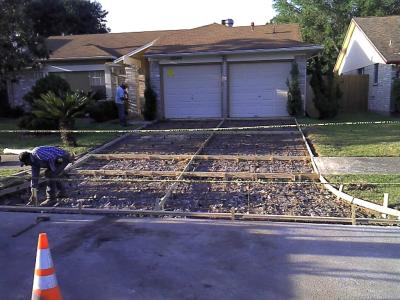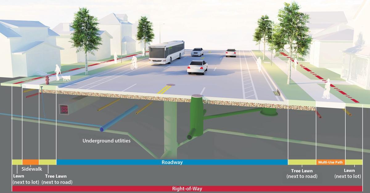
The Public Works Department follows a variety of construciton standards to ensure long term durability of infrastructure that is placed with in the Right of Way. The public right of way is the area that is dedicated to the City of Springdale for public improvements to include, but limited to, streets, sidewalks, storm water, and public utilities (gas, phone, water, sanitary sewer). This right of way area varies depending on the type of development and any proposed improvements that may be planned for the area in the future. While the only and best way to determine the right of way in for the property is through a property title search, a good guide is to use the Hamilton County Auditor's, Cincinnati Area Geographical Information System (CAGIS) tools to determine the Right of Way.
A property may also have easements of different types and sizes associated with the property reserved for certain purposes. The only way to find out the locations of these easement locations and who they below to is through a property title records search.
In all cases, the propery owner is responsbile for the care of all developed parcels, including easments and right of way area. This includes the removal of snow along sidewalks and the maintenance of vegetation within the same area per city code.